You are looking to know more about Umling la Pass in Ladakh. And searching on the internet for authentic information about the destinations of Ladakh like Khardung La Pass.
No worries, I am here to guide you by providing authentic information about Ladakh’s art, culture, and destinations. I stay in Ladakh and have visited all the Passes of Ladakh and I have full knowledge about Ladakh.
If you are a tourist or student who wants to explore more about the passes of Ladakh, I will provide you with authentic insights about Umling La Pass in Ladakh you need to know.
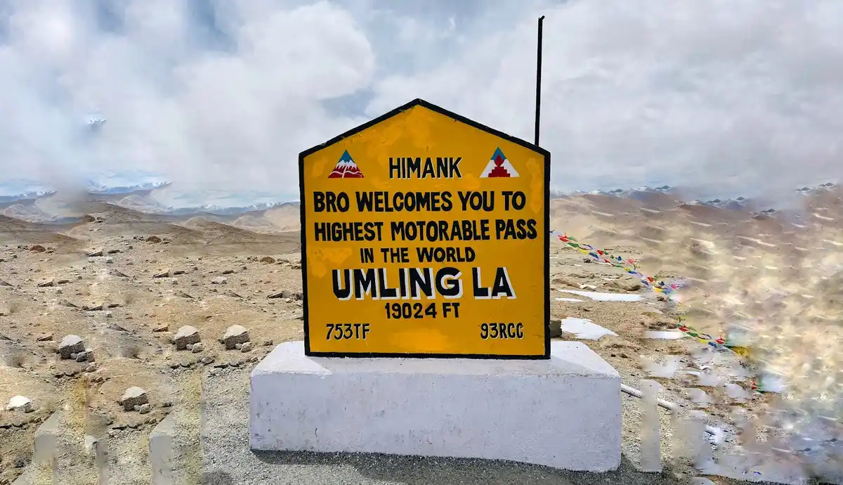
Umling La Pass in Ladakh
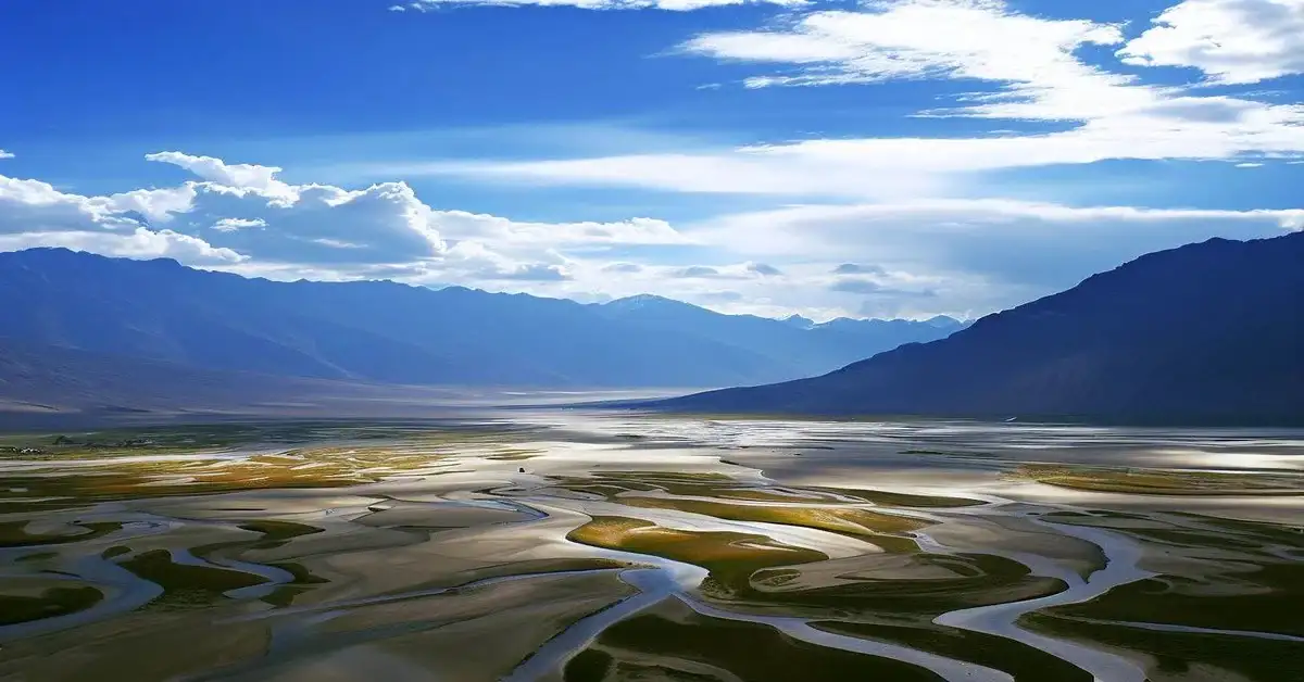
Ladakh is known for its stunning landscape and is situated in a high-altitude area, which is why it is called “the land high passes”. You will find some of the world’s highest passe in the world. Umling La, Khardung La is some of them.
Adventure enthusiasts visit Umling La Pass to feel that adrenaline rush. When you reach the top of Umling La Pass, It feels like you are in paradise especially when Umling La gets covered by clouds.
Border Road Organization (BRO) has been recognized by the Genesis Book of World Records for building the highest motorable road in the world on 9 November 2021. The altitude of Umling La in Ladakh is 19,300 feet (5,883 meters) above the sea level.
Umling la Pass road
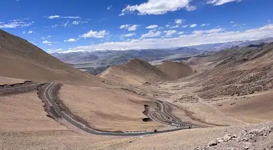
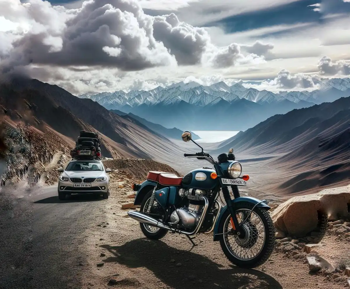
Roads in Ladakh are well known for their breathtaking experience for the riders. Umling La Pass is a 52 km long road that connects Chishumle to Demchok in the Ladakh region of India. This road was built to provide faster accessibility for the Indian army to the Demchok region of Ladakh.
Umling la Pass road is much more beautiful than other roads in Ladakh. It is quite smooth to ride any vehicle and offers an experience for life. if you are planning to visit Ladakh Umling La pass is a must.
Umling La Pass situated in
Umling La Pass is situated on the northern side of the Indian region of Leh Ladakh. Umling La Pass is strategically very important for the Indian army. This road was built intensely to get better control of the region of Demchok, Ladakh.
The distance from Leh Market to Umling La Pass is approximately 230 kilometers. So if you want to visit Umling la pass from Leh, it is suggested to start your journey early in the morning.
Umling La Pass temperature
The temperatures in the high passes are usually lower because when the altitude goes up the temperature goes down. The temperature in the Umling La Pass ranges between -10°C to -20°C in the summertime time and the temperature during winter ranges around -40°C.
Umling La Pass connects
As we have previously discussed the strategic importance of Umling La Pass for the Indian army to have better control of the region of Demchok near the line of actual control (LAC). Umling La Pass connects the villages of Chisumle and Demchok in Ladakh.
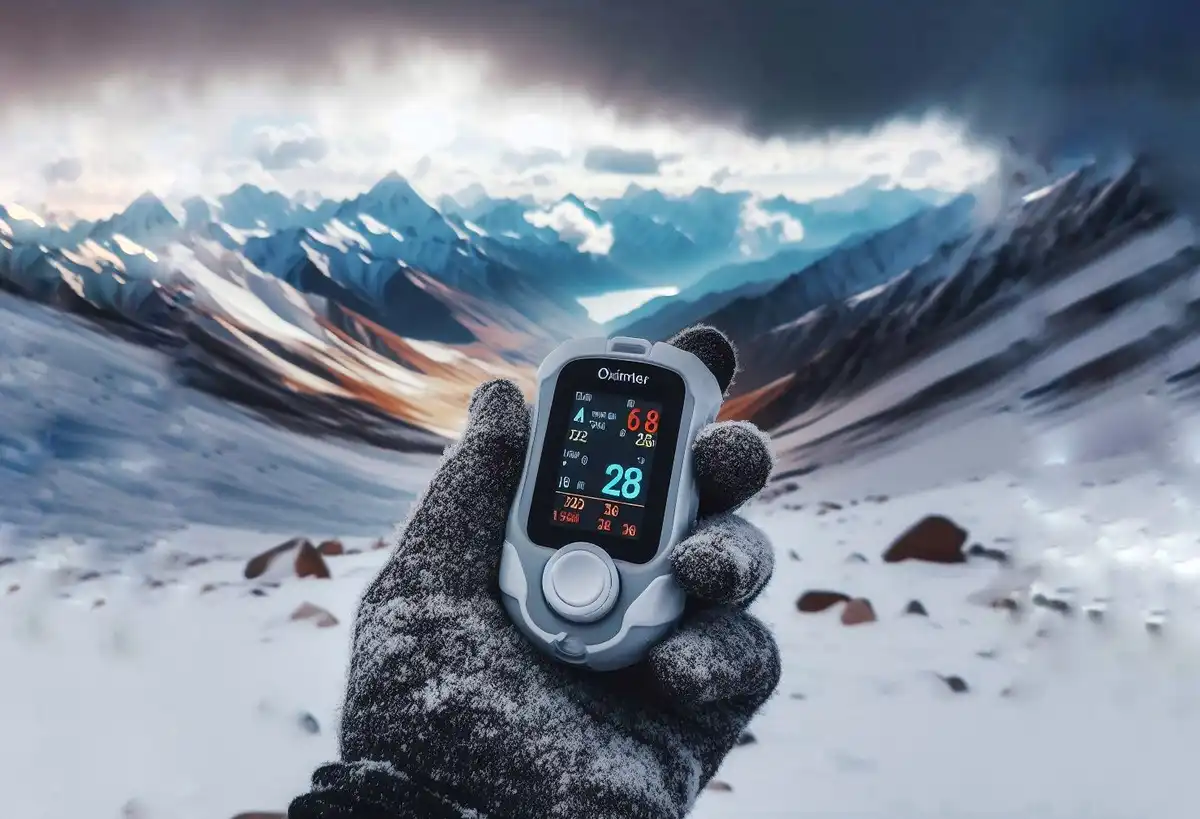
Umling La Pass Oxygen level
When the altitude of a place goes up the concentration of oxygen in the atmosphere and the temperature goes down. You know that the altitude of Umling La in Ladakh is 19,300 feet (5,883 meters) above sea level, which is why the oxygen level of Khardungla Pass is also low. The oxygen level at Umling La Pass is about 42%. It’s not recommended for tourists to stay more than 20 minutes at the top of Umling La Pass
How to reach Umling La Pass
If you want to visit Umling La Pass, first you have to reach Leh by air or road and spend 1 or 2 days in Leh for acclimatization. After that, you have to start your journey from Leh and reach Hanle or Fukche and simply follow the table given below to reach Umling La Pass.
| S. No. | Route | Approx Distance |
| 1 | Hanle-Photi La-Umling La | 105 KM |
| 2 | Hanle-Ukdungle-Umling La Pass | 118 KM |
| 3 | Fukche-Koyul-Demchok-Umling La | 90 KM |
Best time to visit Umling La Pass
If you’re wondering what would be the best time to visit Umling La Pass during summer May to September. When the average temperature of Umling La Pass is ideal for tourists. During this period there is less chance of the road getting closed due to the bad weather.
Things to Carry to Umling La Pass
If you are planning to visit Umling La Pass you should keep in mind what things to carry. Because it is located in a high altitude area you have to carry certain things which are very important to consider.
These are the following things you should carry while traveling to Umling La Pass:
- Medical aid box
- Cozy Wears
- Sunglasses
- Sunscreen
- Power banks for charging your electronic devices
- Cash
- Water bottle
- Snacks like dry fruits
FAQ
Is Umling La Pass open for tourists?
Yes, tourists can visit Umling La Pass in Ladakh
Leh to Umling La Pass distance by road
The distance between Leh to Umling La Pass is 350 km via Photi La route.
Which is the second-highest road pass in the world?
Khardung La Pass has become 2nd highest pass in the world after Umling La
Conclusion
Ladakh has some of the highest motorable roads in the world Umling La, and Khardung La Pass are some of them. In this article, I have shared my knowledge about the Umling La Pass in Ladakh.
I hope you have found the answer to your question by reading this article. Thank you so much for reading. If you have any feedback or questions feel free to send your query
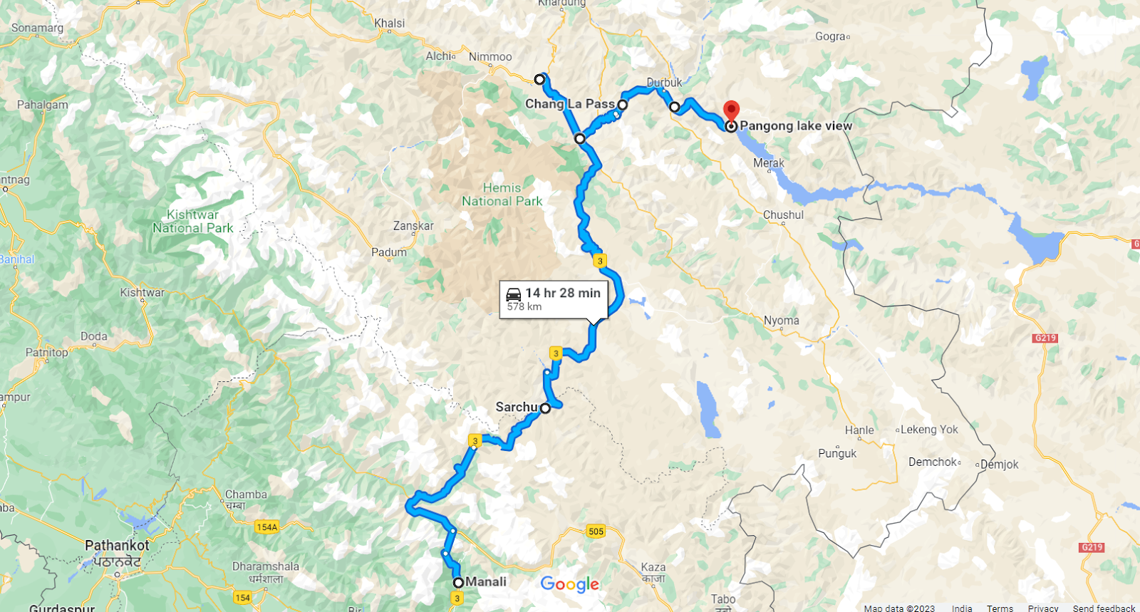
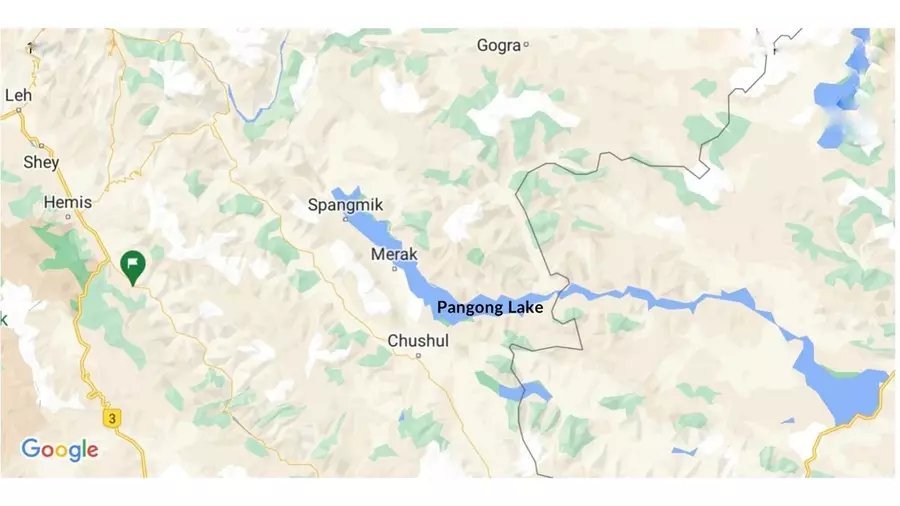
Similar experiences: How to reach Pangong Lake from Manali

 pangong frozen lake marathon